
Embracing Cutting-Edge Technologies
for Geospatial Solutions
Perigesis leverages the latest technologies to develop geospatial solutions that empower your business.
Explore how we integrate innovation into actionable insights.
Kepler Gl
Created By The Uber's Visualization Team For Visual Exploration Of Large Scale Geospatial Datasets, Kepler.Gl Is A Powerful Open Source Geospatial Analysis Tool For Large-Scale Data Sets.

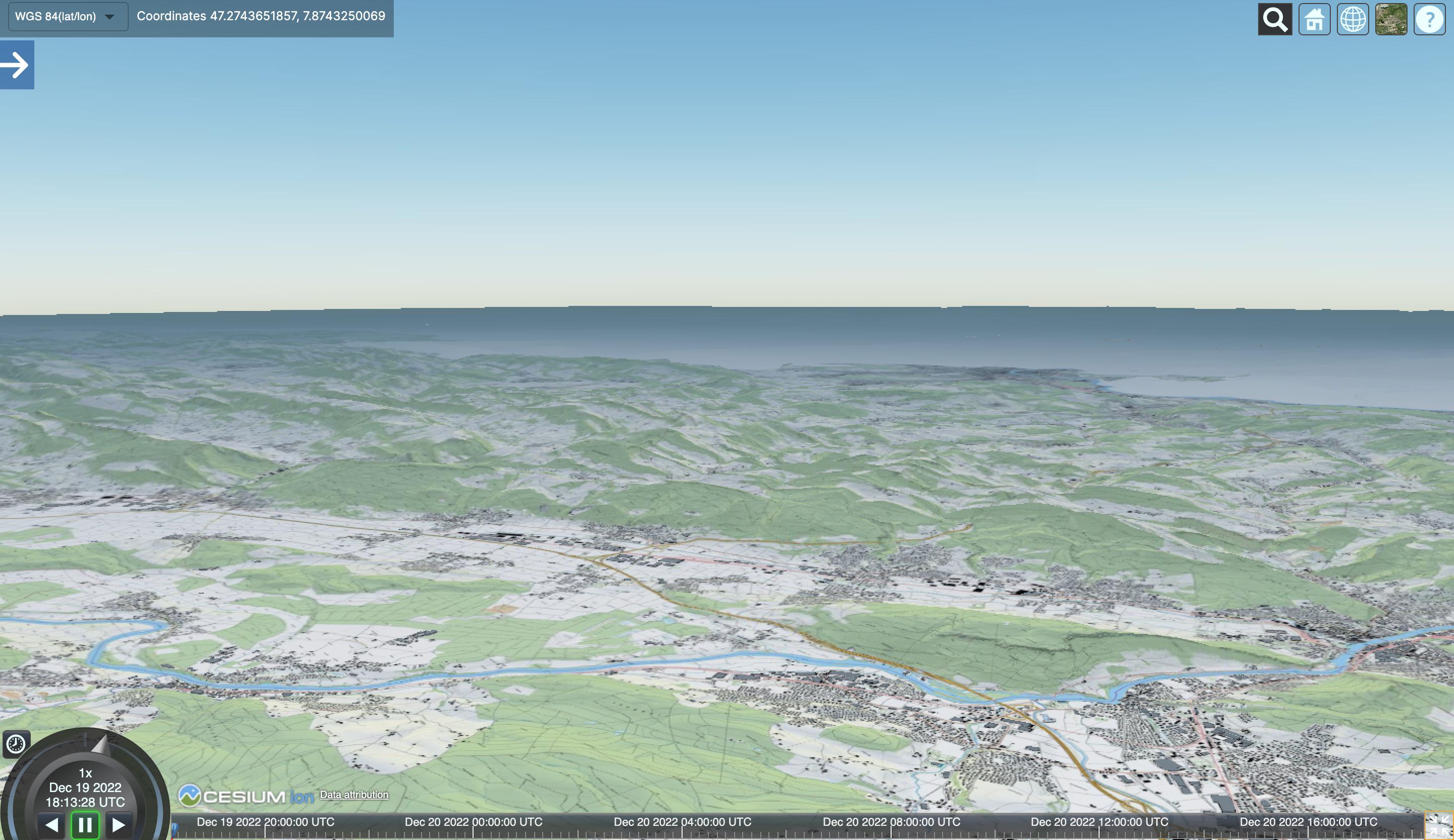
Cesium
Cesiumjs Is An Open Source Javascript Library For Creating World-Class 3D Globes And Maps With The Best Possible Performance, Precision, Visual Quality, And Ease Of Use.
Potree
Potree Is A Free Open-Source Webgl Based Point Cloud Renderer For Large Point Clouds. It Provides One Of The Best Ux For Viewing Point Clouds Over The Web Environment

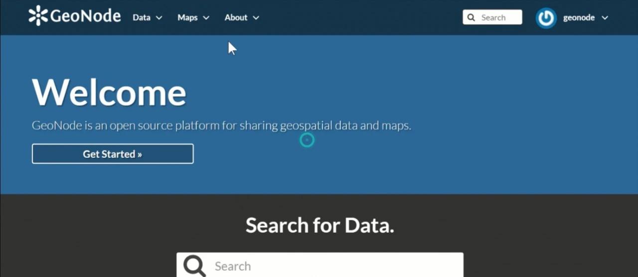
Geonode
Geonode Is A Web-Based Application And Platform For Developing Geospatial Information Systems (Gis) And For Deploying Spatial Data Infrastructures (Sdi).
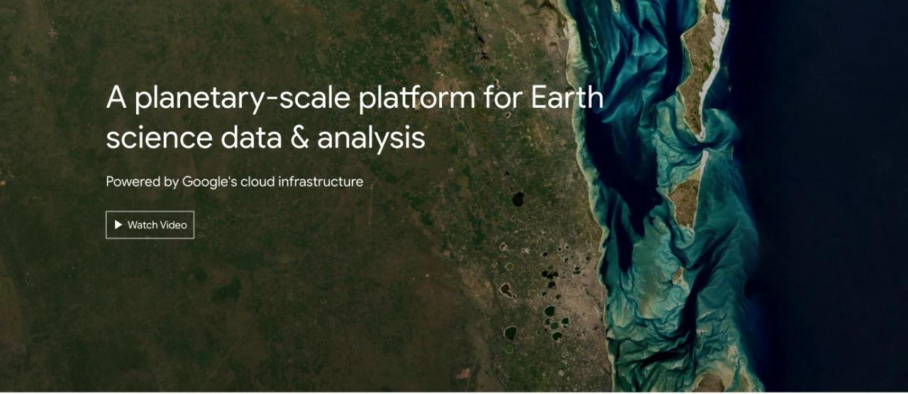
Google Earth Engine
Google Earth Engine Combines A Multi-Petabyte Catalog Of Satellite Imagery And Geospatial Datasets With Planetary-Scale Analysis Capabilities. It Is Usually Used To Detect Changes, Map Trends, And Quantify Differences On The Earth's Surface