
Tools I recommend for building Geospatial Web Applications
Last Updated - October 5, 2019

Being a freelance WebGIS developer, it is very frequent for me to decide what tools I’llneed for my next project. Now after a few years of experience, this decision has become a bit easier because of prior knowledge and I thought I should share it with all those who want to build a Geospatial Webapp.
Before you read further, I want you to know two things:
- All the tools that I’ll discuss in this blog are free and/or opensource, won’t talk about paid and/or proprietary tools.
- These tools can be used to build a small to medium scale web application. They will be able to work at scale with a lot of users but might or might not be able to handle very large geospatial datasets. If you want to handle large geospatial datasets in your web app, you might want to read “How to work with BIG Geospatial Data”.
Frontend
The most important part of a Geospatial web Application is the frontend where all the data is visualized which is the main focus in about 90% of geospatial web apps.
Leaflet
For the frontend, my first priority is Leaflet which is a lightweight javascript library for creating web maps.

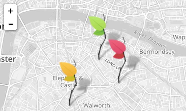
The reason why I recommend it is because it is very simple to use and the map looks pretty modern. There is also a huge number of Leaflet plugins developed by the opensource community. One plugin that I’d particularly like to mention here is the Leaflet Data Visualization Framework.

Some of the prominent sites/portals that use Leaflet include OpenStreetMap, Craigslist, USGS, Windy, and Data.gov, etc.
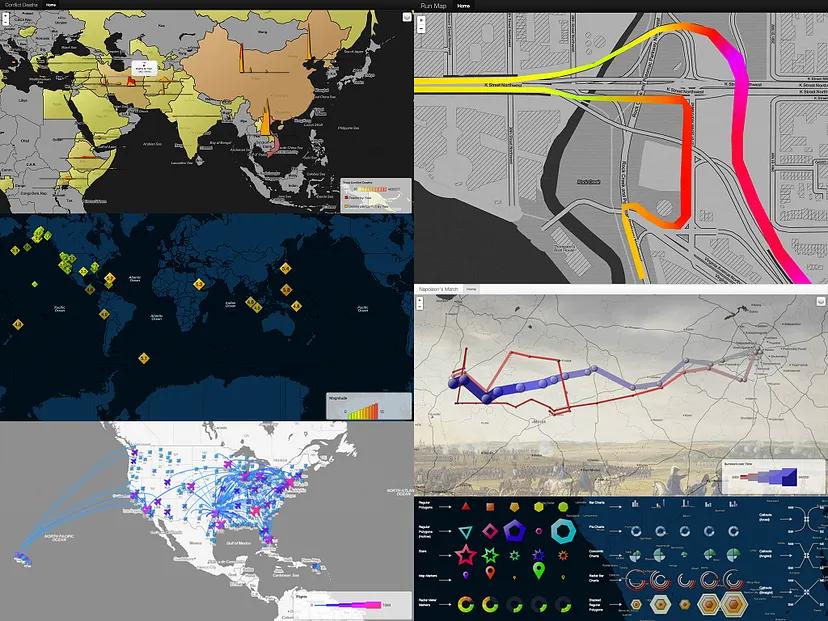
Openlayers
My next recommendation for web mapping library after Leaflet is Openlayers. You should use it when you need to do some advanced data manipulation and/or display on the web map.
Openlayers provides more functionalities as compared to Leaflet but on the downside, the learning curve of Openlayers is steeper.


GeoExt
GeoExt is a complete and very powerful Javascript framework used for building ‘desktop-like’geospatial interfaces on the web. It combines the mapping functionality of GeoExt with the user interface of the ExtJS library and lets you create great Geospatial interfaces.

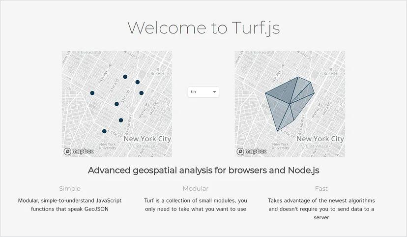
Turf.js
Another very useful library for the frontend is Turf.js. It is a Javascript library so you can also use it on the backend as well if you are using Node.js. It allows a lot of manipulation of geospatial data which comes handy in some cases if you can do it on the frontend.

Backend
In a geospatial web app, a lot is going on in the backend. Most of the data manipulation and querying is done there. So it is important to choose the backend wisely.
For building a geospatial web app, I’ll always recommend Python for the backend. The reason for that is because Python is very popular in the GIS community and hence a lot of powerful geospatial libraries are available in Python. These python libraries include Shapely, GeoPandas,GDAL, PyProjand many others. Building the backend in Python enables you to use these libraries in your backend.
GeoDjango
The framework I always use for the backend of a Geospatial web application is Django. And I’ve got a lot of reasons for it. First of all, it is the most popular web framework in Python sothere’s a lot of community support available. Secondly, being a Python framework, it allows you to integrate all those powerful Geospatial libraries (we talked about above) in your backend.
The best part of it is GeoDjango which is a sub-framework of Django. You can just integrate it into your Django project by adding django.contrib.gisin your installed apps.
It lets you store geospatial data types, support different geospatial databases, create geospatial forms, make geospatial queries, have a geospatially enabled admin panel, create geospatial lookups, serialize Geojson objects, and do a lot more. It also comes withGDAL and GEOS APIs integrated with it.

Another great thing about Geodjango is the Django-rest-framework-gis which is a geospatial addon for the Django-rest-framework-gis. This lets you create APIs that send your data as Geojson which is an extremely popular format and can be ingested by all mapping libraries.
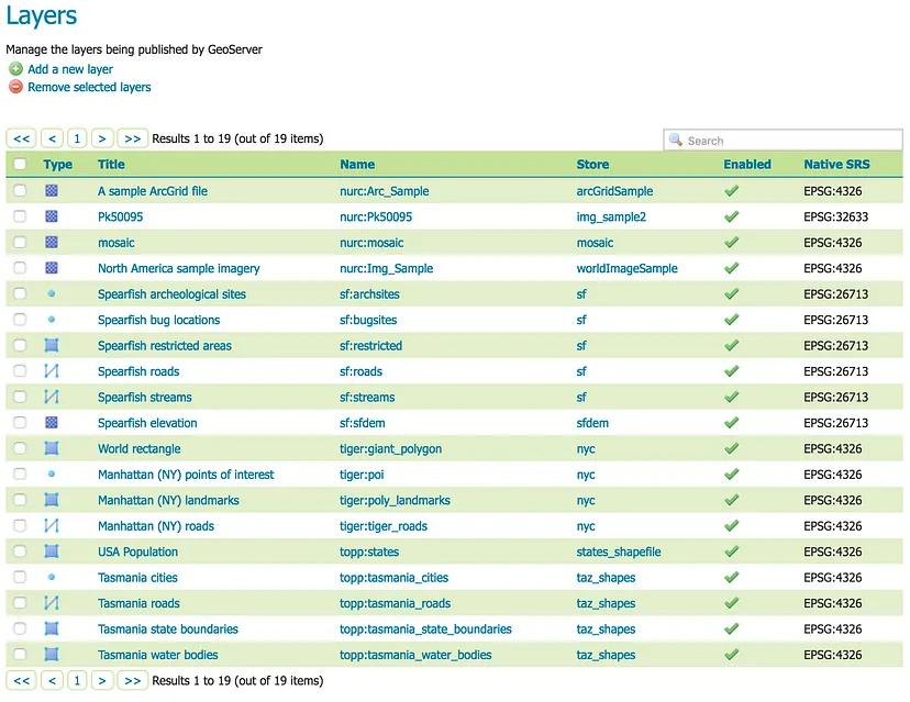
Geoserver
GeoServer is an open-source server for sharing geospatial data. Designed for interoperability, it publishes data from any major spatial data source using open standards.

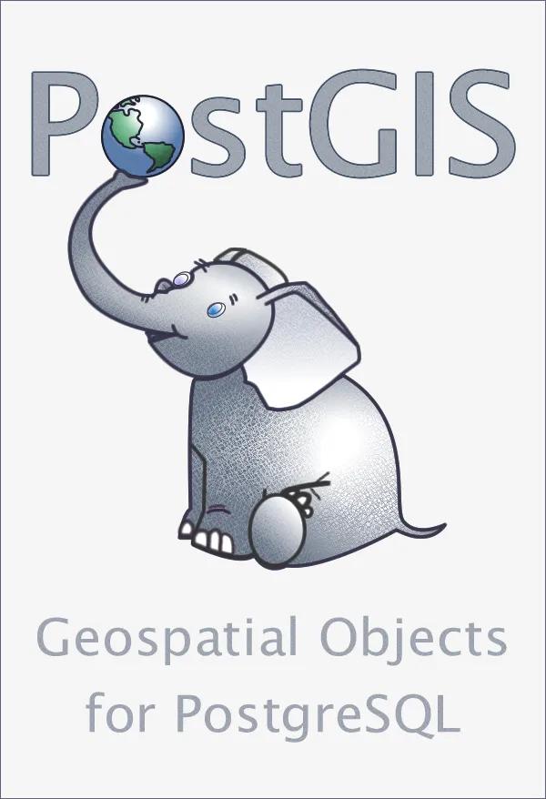
Database
Your Geospatial data needs to be stored in a Geospatial database and we have different options for that like PostGIS, Mysql Spatial, Oracle Spatial, MongoDB, Spatialite, etc.
Among these, I always prefer PostGIS which is the spatial extension of PostgreSQL. I like it because of the fact that it is the most mature geospatial database out there and supports more Geospatial operations and functions as compared to its competitors.

Data Preparation
Many times there’s a need to preprocess the geospatial data before being able to ingest it in the web application. So I’ll talk about the tools I use for this.
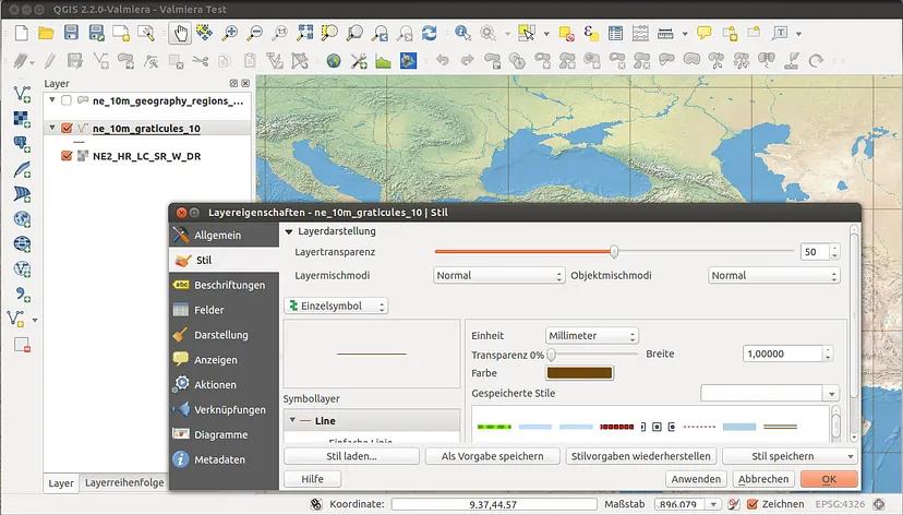
QGIS
QGIS is the most extensive free and opensource GIS software. It supports almost all sorts of geospatial operations and caters to almost all of my data preprocessing needs. The best thing about it is that (unlike Esri GIS) it is cross-platform compatible.
Mapshaper
Another great tool for data preprocessing is Mapshaper. It is a very simple site that allows for very simple operations like data format conversion, data simplification, and data visualization. It only works with vector data.


Data Sources
Many times you need to get the data from somewhere to add to your geospatial web app. For this, the two sources I like the most are OSM and Diva-GIS.
OSM
OpenStreetMap is an opensource competitor of Google maps and being opensource, its data is publicly available to download via UI and APIs. It is really helpful in many cases to get data from it. It also serves as Basemap in many web apps I develop. It also provides free routing and geocoding APIs.

Diva-GIS
Another very convenient data source that I frequently use is Diva-GIS. It provides free spatial data like different levels of administrative boundaries, railroads, roads, water, etc. It also provides global datasets about climate, species occurrence, crops, elevation, and others.

There’s no fixed answer
There’s no fixed answer to the question “which tools you should use for your Geospatial webapp?” Every web application is unique and so is the combination of tools and technologies that fit best for its requirements. There’s no hard and fast rule about it and usually, it is pretty flexible.