
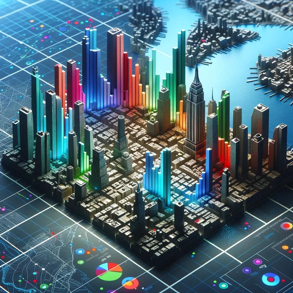
Augmented Reality (AR) and GIS: Navigating the Immersive Future
Last Updated - January 25, 2024
Can you imagine a city planner being able to walk through a proposed construction site with the new structures superimposed onto the real world? It getting more possible than ever to do so via a mobile device or Augmented Reality (AR) glasses. Or consider a disaster response team using AR to overlay evacuation routes on the real world, guiding residents to safety exits more efficiently. AR opens the door to a host of new functionalities and applications, enhancing the capability of tools like GIS to interact with the world in a more intuitive and immersive way.
Geographic Information Systems (GIS) is a powerful toolset allows planners, policymakers, and scientists to make informed decisions based on the spatial context and characteristics of the data. It isn’t merely about mapping geographical features; rather it allows you to understand and interpret complex relationships between locations, events, and data.
For instance, GIS can help identify the best locations for new public transportation systems in a city or predict the spread of wildfires in a particular region. GIS solutions thus have long been a cornerstone of spatial analysis and planning across a multitude of sectors—ranging from urban planning, environmental science, and agriculture to disaster management and logistics.

The Rise of Augmented Reality (AR) - The Convergence of AR and GIS
In order to revolutionize the realm of GIS: Augmented Reality (AR) creates an entirely simulated environment, as it overlays digital information on the real world, offering the potential to make GIS data and analytics more interactive, real-time, and user-friendly. Esri has introduced AuGeo as a prime example of this crossover of two realms of technology.
With the ongoing advancements in both AR and GIS technologies, now is the perfect time to explore how these two can complement each other to provide enhanced functionality and increasingly interactive user experiences.
Augmented Reality in Data Collection and Field Work
The integration of Augmented Reality (AR) in data collection and field work is revolutionizing the way professionals capture and analyze information. Traditionally, field work involved manual data entry, often accompanied by the challenges of interpreting the surroundings and contextualizing data points. With AR, these processes are being transformed.
Now, researchers and field workers can superimpose digital data directly onto their real-world view, providing an interactive and enriched perspective. For instance, an ecologist might see real-time overlays of previous plant growth data while examining a forest or a geologist could view underground mineral compositions without taking a single sample.
This not only increases the accuracy and efficiency of data collection but also offers unparalleled immersive experiences. As the technology evolves, AR promises a future where field work is seamlessly intertwined with real-time digital insights, bridging the gap between our physical world and the vast reservoir of data we'sve accumulated.
Augmented Reality in Data Visualization
Traditional GIS maps and models, although detailed, often require a certain level of expertise to decode and interpret. With AR, GIS data is not only represented in 2D, but it's brought to life in three dimensions, overlaid onto our physical surroundings. This makes spatial information more interactive and palpable.
Imagine a city planner standing on a proposed development site. With AR, they can visualize underground utilities, potential skyscraper shadows, or even historical data layers of the land, all in real-time. This immersive perspective significantly aids decision-making and planning. Moreover, when AR is integrated into public participatory GIS, it democratizes spatial planning. Communities can see proposed infrastructure changes in their neighborhoods, making them more engaged stakeholders. Instead of trying to understand complex plans, residents can virtually experience potential outcomes, leading to more informed discussions and collaborative urban planning.
Augmented Reality in Emergency Management and Response
Augmented Reality (AR) is emerging as a vital tool in the toolbox of emergency management and response teams. One of its most immediate benefits is in the realm of real-time navigation for emergency services. Imagine firefighters navigating through smoke-filled rooms with AR glasses that highlight exit paths, or paramedics finding the quickest route through a chaotic accident scene with the assistance of AR overlays. This use of AR can drastically reduce response times, improving the chances of successful interventions.
Augmented Reality in Emergency Management and Response


Moreover, disaster simulations powered by AR are changing the face of training and preparedness. Instead of conventional drills or reading through voluminous emergency procedure manuals, first responders can now engage in highly realistic AR-enhanced scenarios. Whether it's simulating the aftermath of an earthquake or practicing evacuation procedures during a flood, AR provides an immersive training experience.
Technical Challenges and Limitations of GIS-AR Nexus
Augmented Reality (AR) promises vast potential in Geographical Information Systems (GIS), but its integration isn'st without challenges.
Computing Power and Battery Life Concerns:
AR requires significant computational resources, particularly for rendering real-time graphics overlaid onto real-world environments. This demand can strain mobile devices and wearables, often resulting in rapid battery drain. While processors are becoming more efficient, there's still a gap between the desired AR performance and what typical devices can support for extended periods.
Data Accuracy and Integrity:
The value of AR in GIS is deeply rooted in the precision of spatial data. Misalignment or even slight inaccuracies in AR overlays can lead to wrong interpretations or misguided decisions, especially in critical applications like urban planning or emergency response. Ensuring real-time accuracy, especially when devices are on the move, remains a challenge.
Data Accuracy and Integrity:
As AR becomes more intertwined with GIS, it inevitably interacts with personally identifiable information and sensitive locations. For example, AR apps that overlay property data or individual utilities can lead to privacy concerns. Moreover, with AR annotations in public spaces, there's a fine line between informative overlays and visual clutter or even misinformation. Governments and regulatory bodies are still grappling with defining the boundaries and norms around AR data dissemination and its potential invasive nature.
Also Read: How to work with GeoSpatial Big Data
Future Prospects of AR in GIS Applications
The intersection of Augmented Reality (AR) and Geographical Information Systems (GIS) is truly transformative, with several exciting prospects on the horizon.
Upcoming Technologies Facilitating AR-GIS Integration:
- 5G and Beyond: The rollout of 5G networks and the eventual advent of 6G will dramatically improve data transfer speeds and reduce latency. This will enable AR applications to pull GIS data in real-time with minimal delay, enhancing the user experience.
- Advanced Wearables: Beyond the typical AR glasses, there are innovations in development like contact lenses with AR capabilities e.g. by MoJo and helmets with built-in AR visors. These devices will make AR-GIS integration more seamless and natural for the user.
- Edge Computing: By processing data closer to the source of information, edge computing will speed up AR rendering and reduce the load on central servers. This decentralization will be pivotal for AR-GIS applications in remote areas.

Future Applications and Beneficial Sectors:
- Environmental Conservation: AR-GIS tools can help biologists visualize migration patterns, deforestation rates, or even underwater topographies, fostering better conservation strategies.
- Smart Agriculture: Farmers could utilize AR to receive real-time GIS data about soil health, moisture levels, or pest activities directly overlaid on their fields, enabling precision agriculture.
- Tourism and Heritage: Tourists might explore historical sites with AR-GIS overlays, providing insights about ancient structures or events that once took place there.
- Transportation and Urban Planning: Planners could visualize traffic patterns, predict urban growth, and design better transportation networks by merging real-time AR visualizations with GIS data.
Key Takeaways
- Understand the Rising Trends: AR and GIS are not just individual technologies; their convergence is signaling a broader trend in immersive data interaction and visualization. As we move into an increasingly digital age, the blend of AR and GIS signifies the direction in which digital spatial interactions are headed.
- Discover Enhanced Functionalities: While GIS has traditionally offered comprehensive spatial data, AR elevates this by adding a layer of interactivity and real-world immersion. This enhancement transforms the way professionals across sectors can utilize and benefit from GIS data.
- Challenges and Future Prospects: As with any groundbreaking technological crossover, the path is fraught with challenges, from technical limitations to regulatory concerns. Yet, the future is bright with prospects ranging from advanced wearables to novel applications in sectors yet to tap into the full potential of AR-GIS integration. Being aware of these challenges and opportunities is essential for anyone keen to remain at the forefront of spatial technology trends.
Conclusion
The union of Augmented Reality (AR) and Geographical Information Systems (GIS) is undeniably a match made in technological heaven. Together, they have the potential to redefine how we interact with, perceive, and utilize spatial data. From emergency response to urban planning, the implications of this fusion are vast, promising more efficient, immersive, and actionable insights into our world. Yet, this potential isn't without its hurdles. Challenges related to computational power, data accuracy, and regulatory frameworks underscore the complexity of integrating these domains. However, these challenges should not deter us but rather motivate researchers, policymakers, and industry leaders. The call to action is clear: we must invest in the synergistic potential of AR and GIS, focusing on innovation, collaboration, and ethical considerations. With collective effort, we can harness the full power of AR-GIS integration, driving forward a future where spatial data is not just viewed but experienced.