


Why Geospatial Matters?
In today's interconnected and dynamic world, understanding spatial relationships and patterns is more important than ever. Geospatial technology provides insights that go beyond mere data, revealing hidden patterns, simplifying complex scenarios, and paving the way for informed decisions.
SERVICES
We Offer Best Services

Web GIS App Development

Geospatial Analysis

Cartography
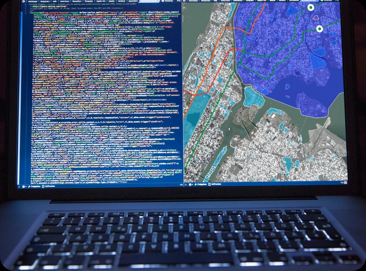
Web GIS Development
With custom WebGIS Solutions tailored to your unique needs, we specialize in designing and developing powerful web-based GIS applications that transform complex spatial data into actionable insights.GIS Integration services to help you seamlessly integrate geospatial intelligence into your existing web applications. Enhance your platform with precise GIS data and functionalities. Benefit from our top-tier hosting and maintenance services, ensuring that your web GIS applications always perform optimally.

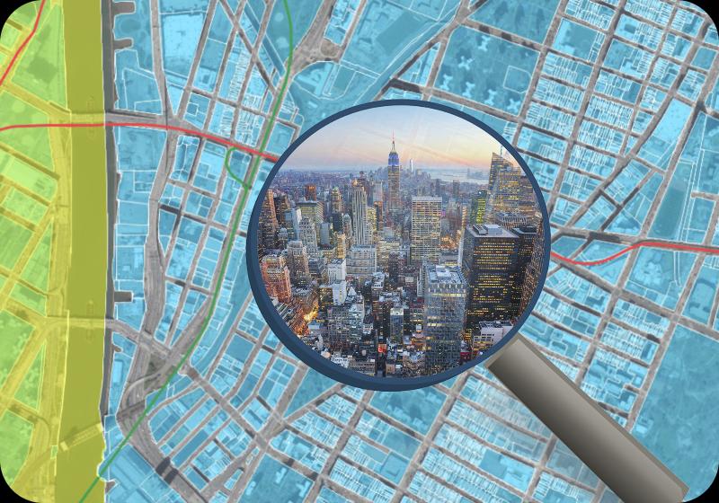
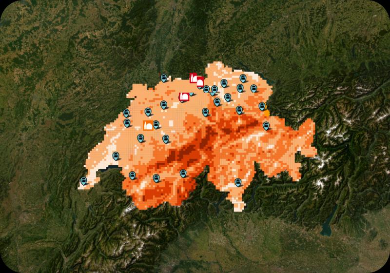
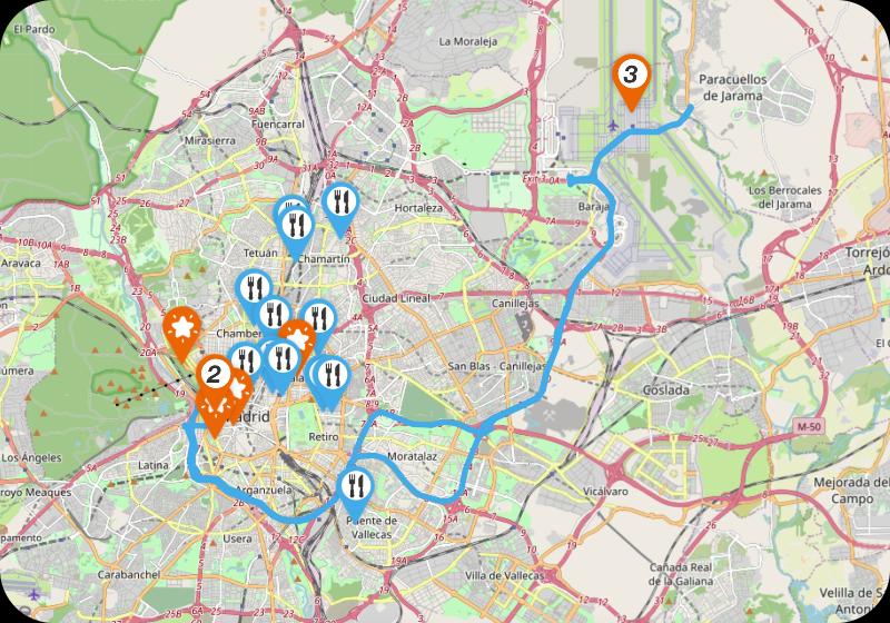
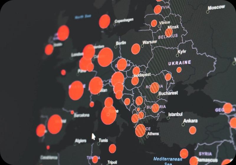
Geospatial Analysis
Utilize our geospatial analysis services to extract meaningful insights from spatial data, analyzing geographic patterns, trends, and relationships. Our geospatial analysis services are designed to offer data-driven insights, enabling you to extract meaningful information from spatial data. We specialize in analyzing geographic patterns, trends, and relationships, which are crucial for informed decision-making in a variety of fields
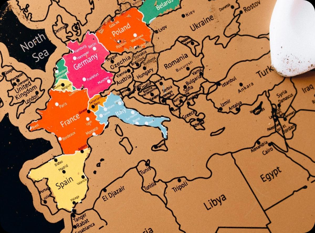
Cartography
Dive into our extensive collection of GIS data and resources. We offer detailed datasets and intricate mapping tools for creating visually compelling and informative maps. Our expertise in cartography enables us to design custom maps tailored to your specific requirements, ranging from thematic maps to interactive web maps.
Facing geospatial challenges?
We're here to strategize, advise, and provide solutions tailored to address your specific geospatial conundrums.
Sectors
Some Of The Sectors We Have Provided
Our Services In

Agriculture

Drone Surveying
Real Estate
Environmental Awareness
Tourism
Public Health
TECHNOLOGIES
We Work With The Finest Technology


OUR PROCESS
At Periegesis, we've crafted a streamlined process to ensure your geospatial success
Our Geospatial Application Development Process
Collaborative Goal Setting and Requirements Analysis
We begin by engaging in a detailed dialogue with you to thoroughly understand your vision and requirements. Through continuous communication, we ensure mutual understanding and alignment on the project objectives.
Technical Specifications and Custom Quotation
Based on your specific needs, our team drafts a tailored technical plan. We provide you with a comprehensive quotation and a realistic timeline, ensuring transparency and clarity right from the start.
Data Acquisition for Geospatial Precision
We identify and procure the necessary geospatial data, ranging from maps and satellite imagery to detailed census data. Our focus is on sourcing the most relevant and accurate data to empower your application.
Data Preprocessing and Optimization
In this critical phase, we refine the gathered geospatial data. This includes tasks such as standardizing data formats, rectifying inconsistencies, and integrating various data sources to create a cohesive dataset.
Intuitive UI/UX Design for Geospatial Applications
Our design team crafts the user interface and user experience, focusing on intuitive navigation and engaging visuals. We create wireframes and prototypes to give you a tangible feel of the application before development.
Front-End Development with Interactive Mapping
Utilizing modern web technologies and geospatial libraries, we develop the front-end of your application. This includes creating a responsive layout, stylish design elements, and dynamic map interfaces for an interactive user experience.
Robust Back-End Development for Seamless Performance
Our developers implement the server-side logic using powerful programming languages and set up a robust geospatial database. We ensure the back-end supports the application functionality seamlessly and securely.
Rigorous Testing for Flawless Functionality
Through a combination of manual and automated tests, we rigorously evaluate the application to ensure it meets all requirements and performs flawlessly across all scenarios.
Deployment and Launch
We smoothly transition the application from development to live environment, ensuring it is fully operational and accessible to your target audience.
Ongoing Support and Evolution
Post-launch, we remain committed to the application success. Our team provides continuous support, regular updates, and feature enhancements to keep the application relevant and efficient.